Day 1 – Sept 8, 2018
We met at Alan’s around 7:00am and grabbed breakfast to go at McDonalds in Caledon Village en route to Alan’s parents to pick up the canoes. Beautiful sunny day for a drive up Hwy 11, and we stopped at Tim Hortons on the way and purchased lunches for the put-in.
Drove to Kearney to pick up permits and the ranger said water levels were fine down the Tim, despite dire warnings from Richard about the slog he’s endured in the past.
While the main road was in great shape heading towards Magnetawan L access, the secondary road into Tim L Access point had several washouts, some with precipitous drops on the side. They were still navigable even in Ryan’s Subaru WRX, but made for slower progress.
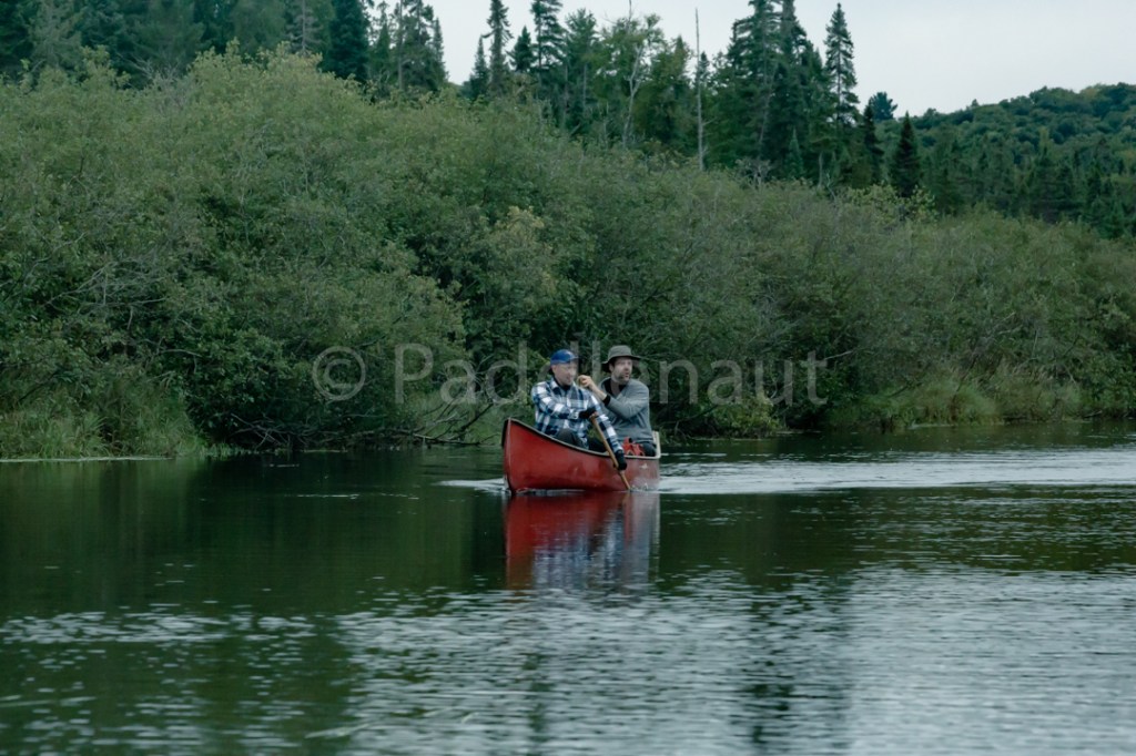
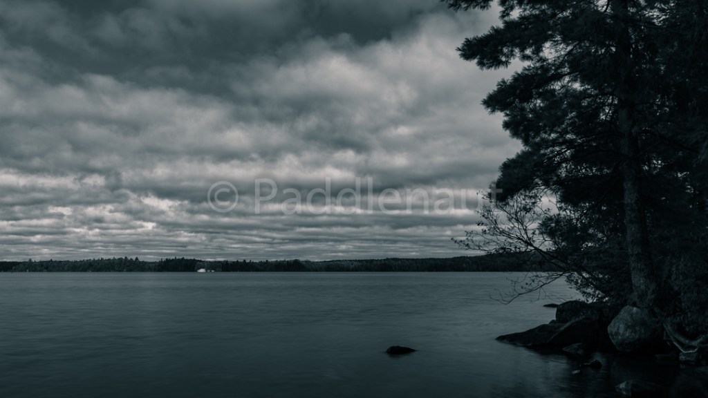
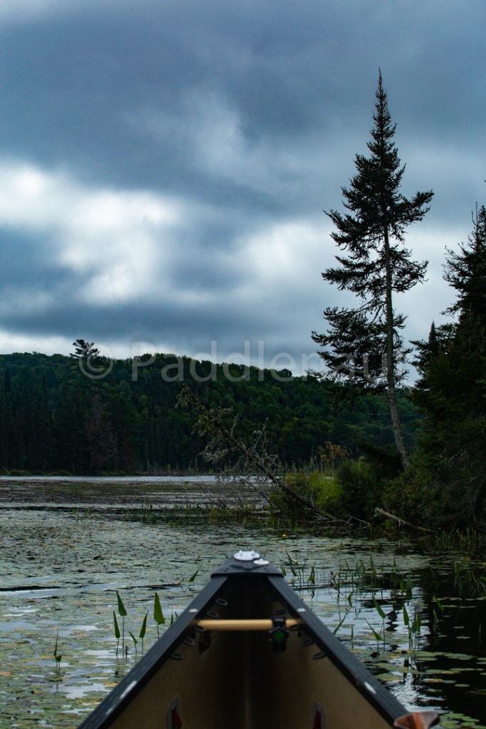
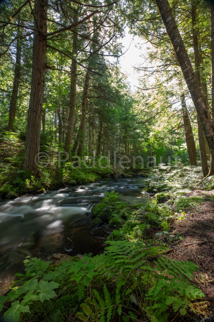
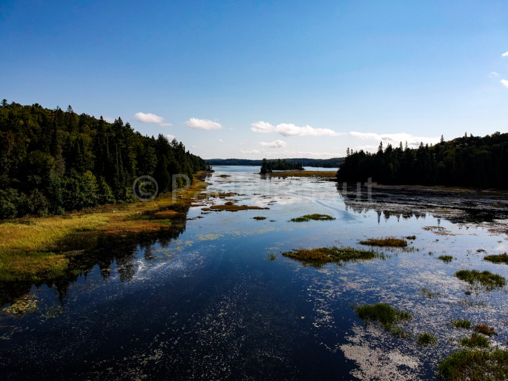
The Tim L Access was flooded with the dock submerged by about 3 inches, which certainly set the stage for the trip. We ate lunch before departing down the gentle flow into cool temperatures and sunny skies.
There’s only one portage between the access and Rosebary, around a constriction/falls in the river with an old logging chute next to portage. The portage itself is steep but short, sandy with loose gravel in some areas, and careful footwork with heavy loads is recommended.
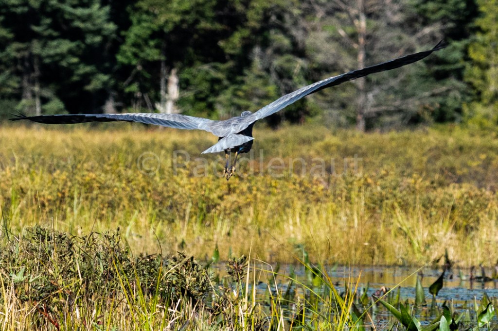
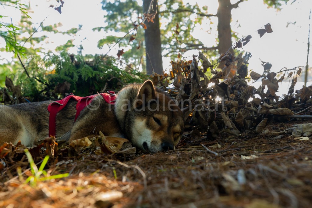
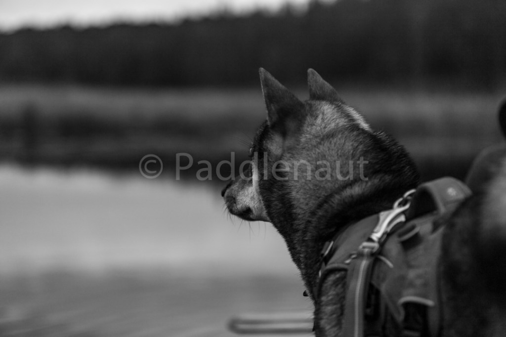
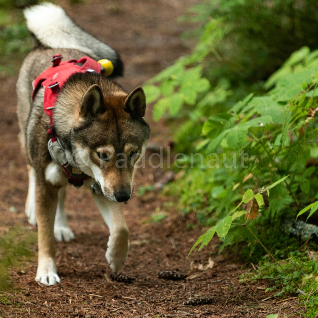
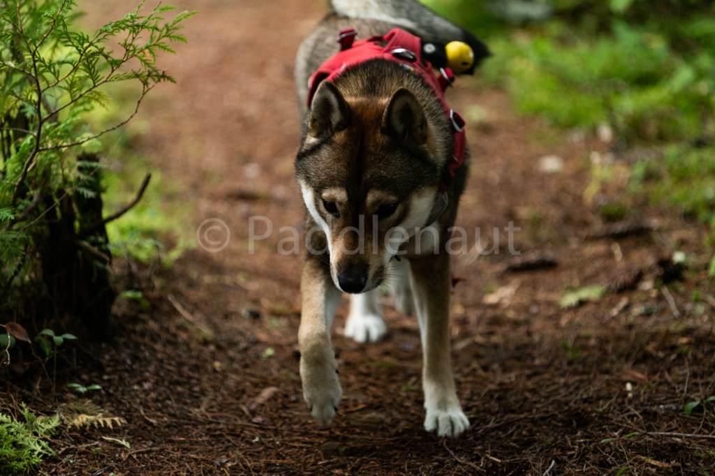
We still had reasonable water flow and most beaver dams were flooded so no lift overs were required. We spotted 3 moose (Koharu alerts us well in advance by getting quite agitated in the canoe), two only partially visible, one fully visible in the river margins surrounded by Alders.
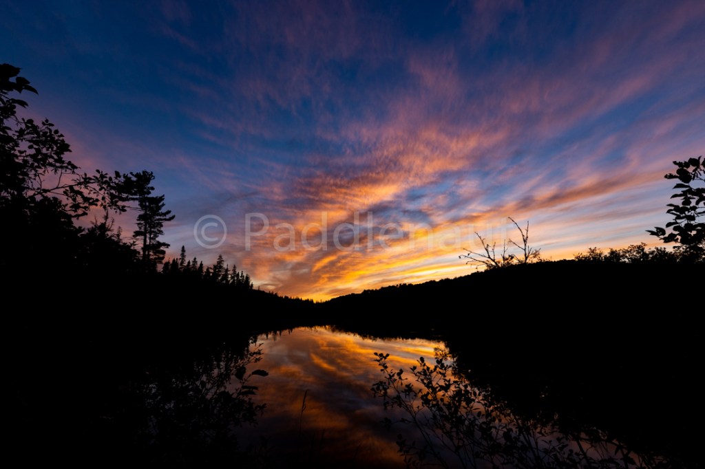
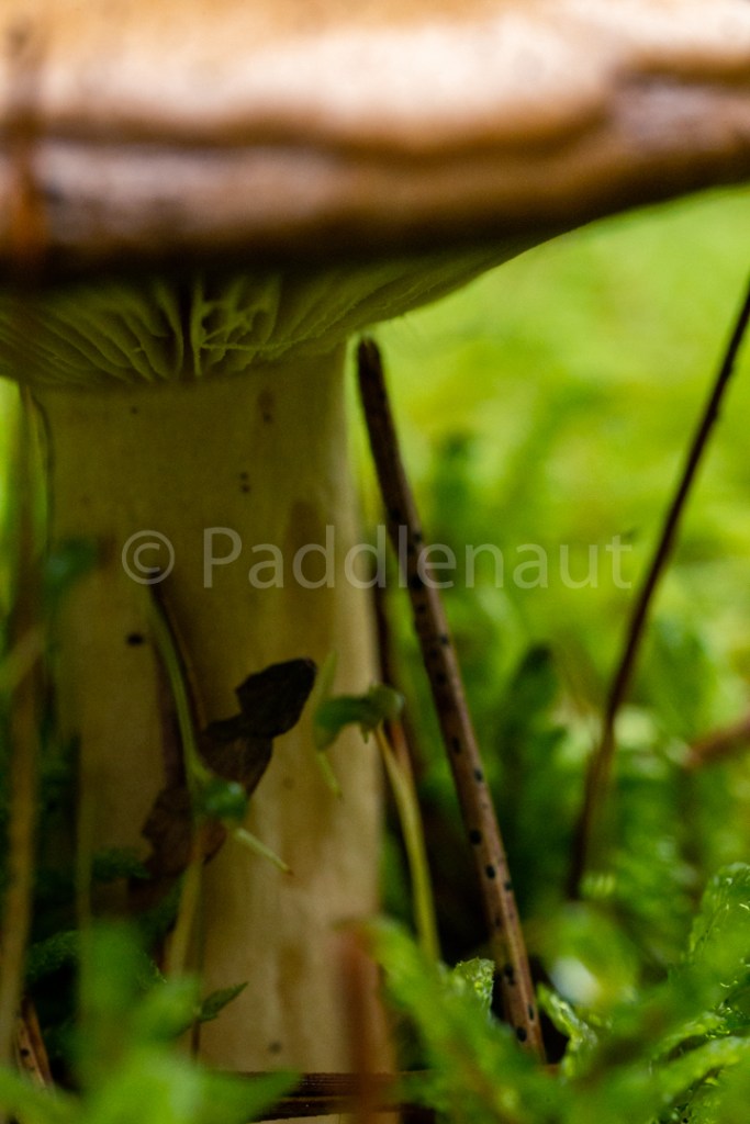
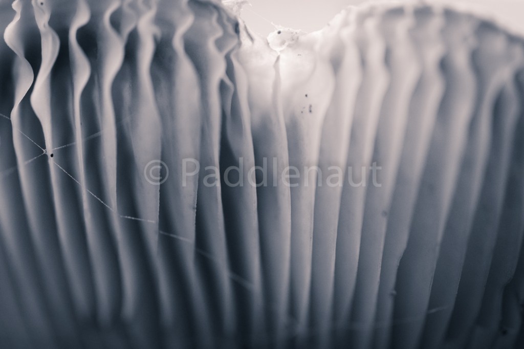
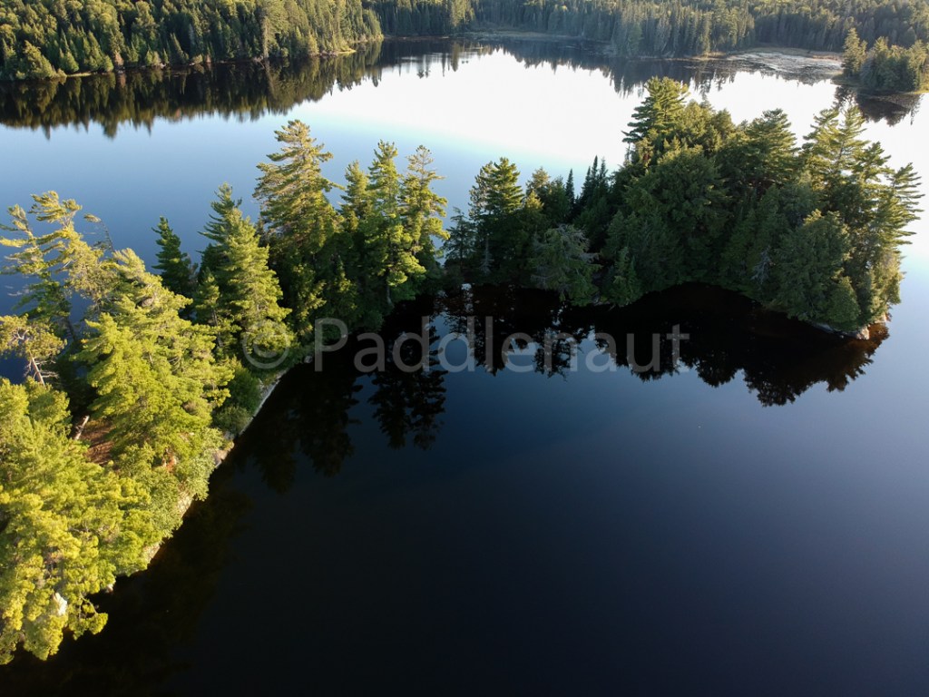
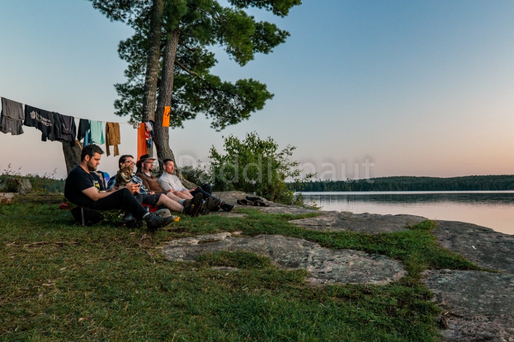
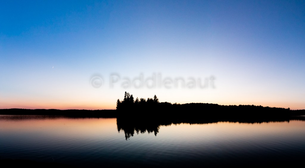
Rosebary is a pretty lake with a large sandy beach at the north end and we aimed for the northern most campsite (oldest aboriginal site known in the park), but was unfortunately occupied. We wanted western exposure for sunset views, so we settled on the southern most campsite on east side, along the exit to Long Bow lake. The shoreline is rocky with a small slope and the water access is a little silty (we didn’t swim, but it wouldn’t have been too bad). The site itself is open with a well built fire pit and a few large trees to provide cover. Thunder box is located west of the campsite along a small path up a hill. Reasonable tent sites for 2-man tents (approx. 3).
Found a sunbeam… 
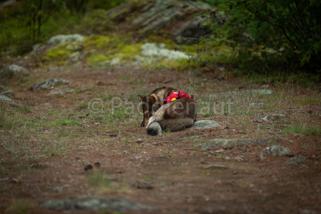
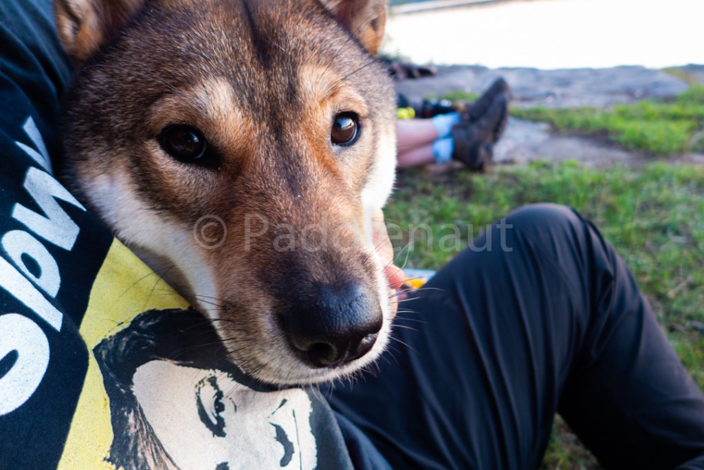
Koharu is not a lap dog
We fired up the charcoal and started the roasted veggies for dinner, and after some time grilled up the 8oz. Ribeye steaks over the coals. It all got washed down with some red wine.
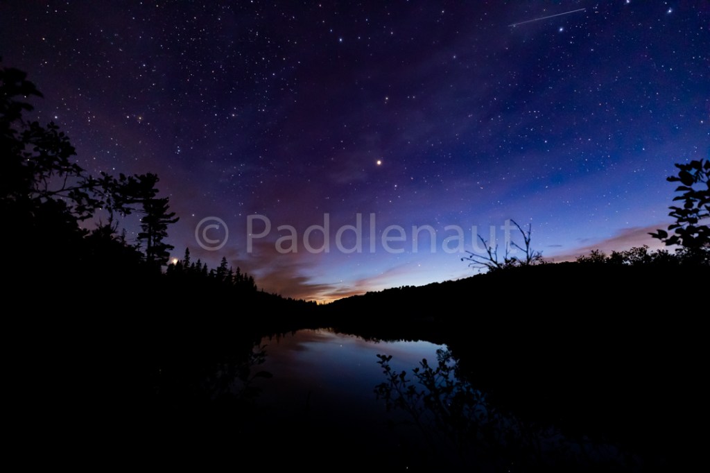
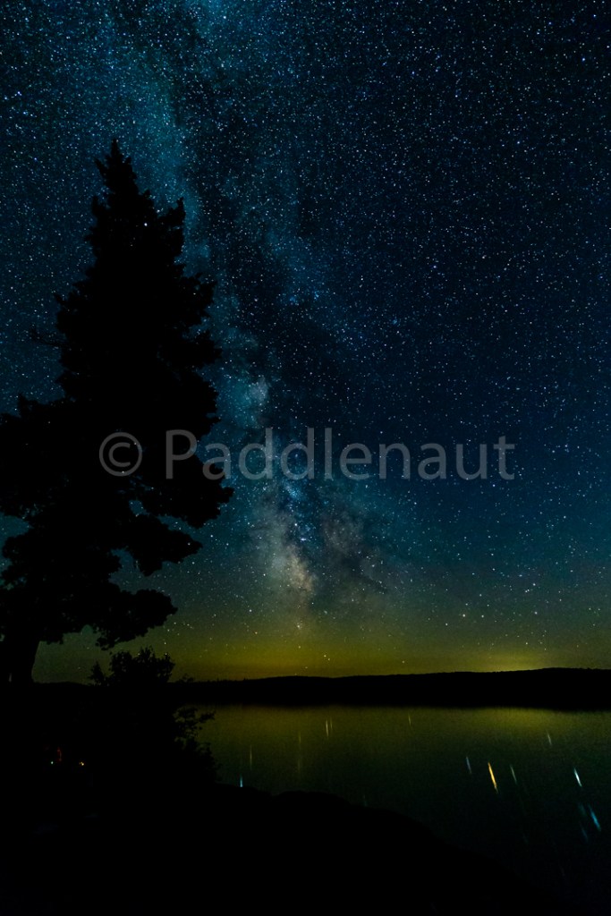
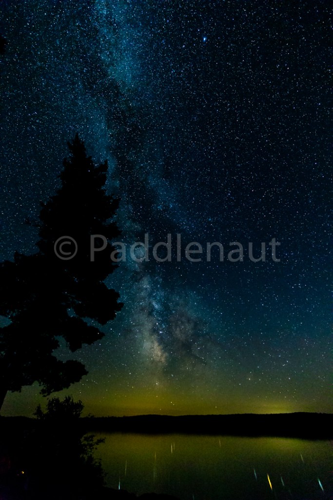
Clear night with great stars. Very cold (likely hit or slightly below freezing) so Alan’s mesh tent wasn’t the greatest choice. Keelan’s sleeping bag showing its years. Alan forgot his toque.
Sean and Ryan were well geared and toasty all night.
- High: 15.4°C
- Low 1.8°C
- Max Wind: 8 km/h
- Precipitation: 0 mm
- Total Distance: 13.2 km
- Portages: (1) 120 m
Day 2 – Sept 9, 2018
It was a crisp, clear morning with steam coming off Rosebary L. Breakfast of Oatmeal and dried fruits with coffee.
We struck camp and were on the water around 9:30am heading down the remainder of Rosebary as it empties into Long Bow L, and portaged into the Tim River at the confluence with Pezheki Cr. Beautiful open portage and the site of an old ranger cabin (clearing now piling up with raspberry bushes), and the rusting remains of what looked to be an old plow.
The high water still held from upstream, and we paddled down the narrow winding river with a reasonable current.
We skipped the 90m portage, although we hauled out to see if we could find it. Trail was all but lost, likely very rarely necessary to portage except in extremely low water conditions.
Some blow down on the 410m portage made for an interesting time with the canoe and Koharu, and we stopped for lunch at the down stream end of the portage. Beautiful sunny day, barely a cloud in the sky, approx. 15 degrees. Lunch was cured sausage, cheese, baguette crisps, and dried fruit.
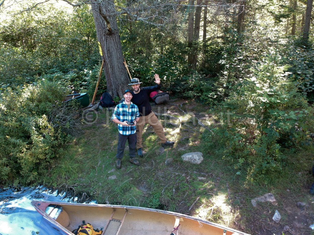
Sean and Ryan Testing the Drone 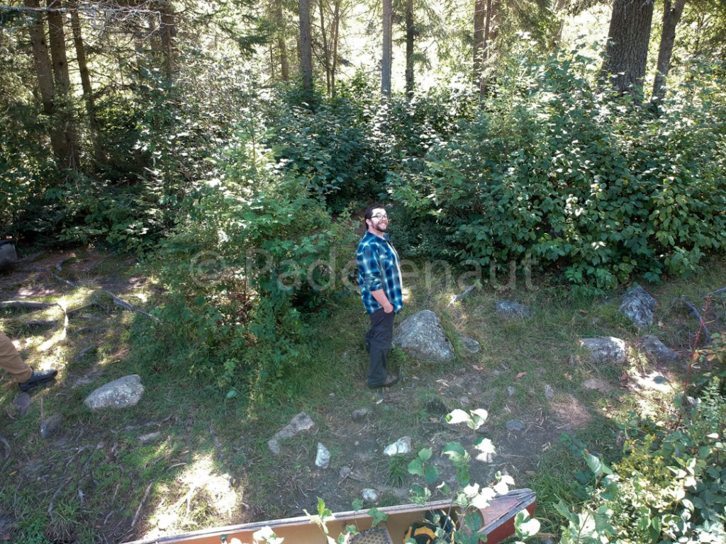
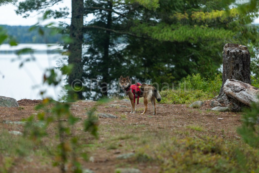
Keelan acting Natural
Passed the site reserved as “Little Trout Creek”. Looks to be nice and open, about 5ft up from the river water level. The sandy embankment may prove challenging for access, but otherwise it looked like a nice site.
Came across two or three instances of moose hiding in the Alders with Koharu alerting us long before we came upon them. They were often well back from the shore proving visibility quite difficult.
We were planning on staying at the “Farm Remnants” portage to explore the area, but the site is very small and lumpy, and is located in the middle of the portage with what looked to be challenging water access (would recommend accessing water from the portage take-out). It was interesting to see the remains of an old log cabin right next to the portage, but after some short discussion, we decided to push on to the next site reserved as “Lower Pine River – Tim River”. The rapids around the farm remnants look passible for the most part, although the end looked very shallow. Potentially runnable in the spring.
Next 460m portage didn’t provide any element of challenge, and we arrived at the second site around 4pm.

Water is slow and silty, needed to backwash the platypus filter several times, but the site is relatively flat and open (albeit small), and looked to be the recipient of some significant wind damage some time in the last decade. Lots of firewood! Small pines and spruce starting to pop up, approx. 4-6ft high. A few bugs out after the heat of the day, but they tucked in as it cooled down.
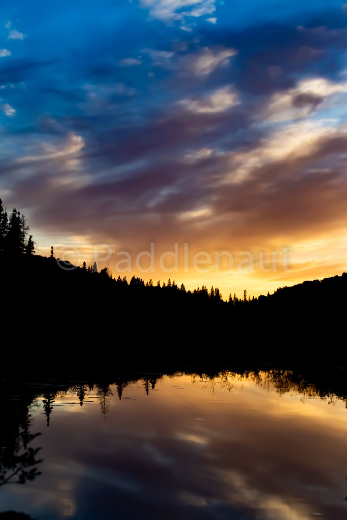
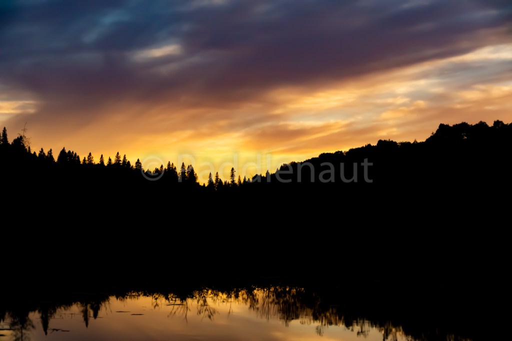
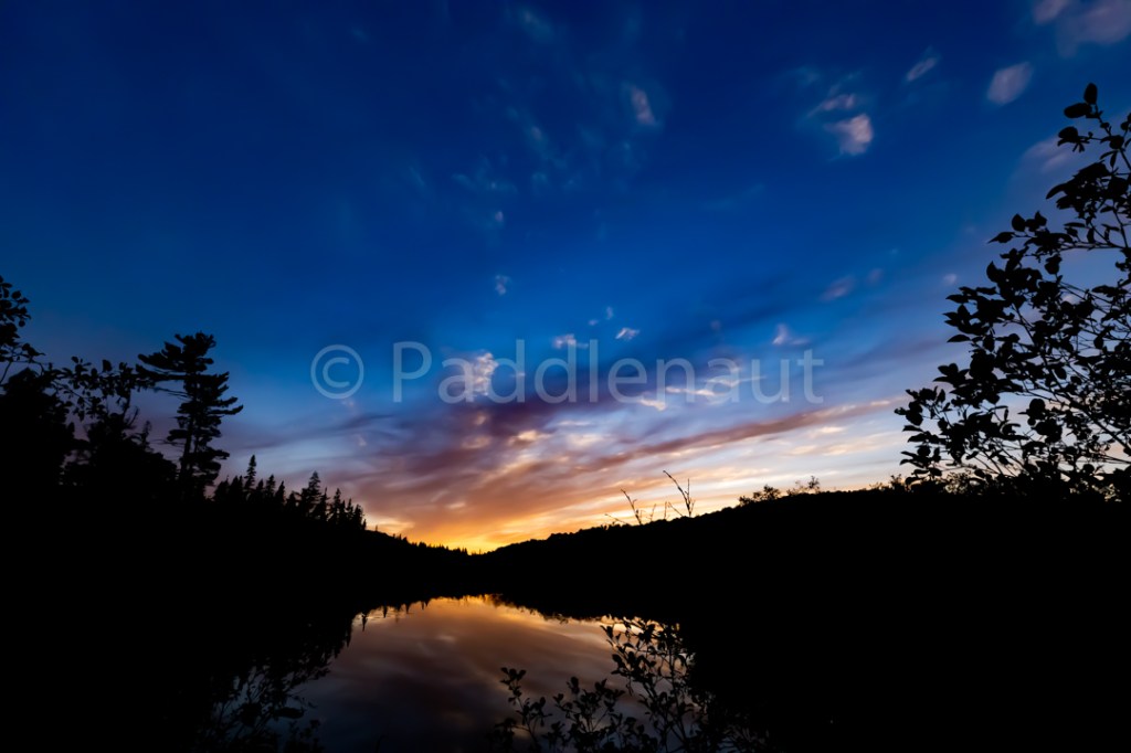
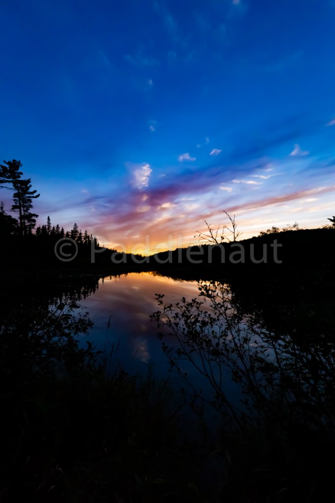
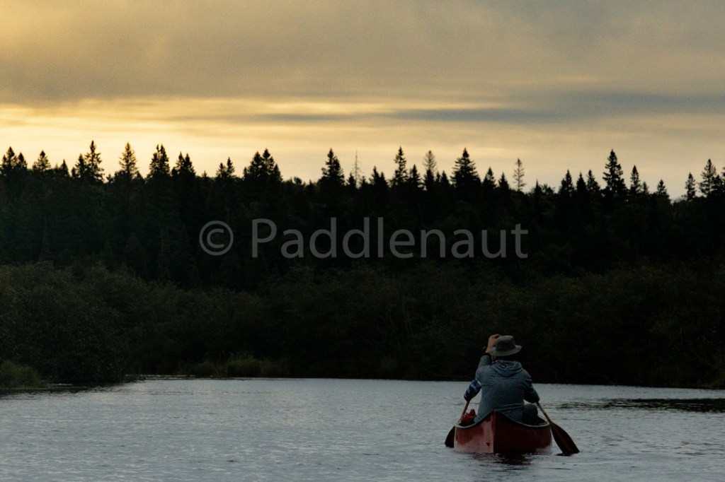
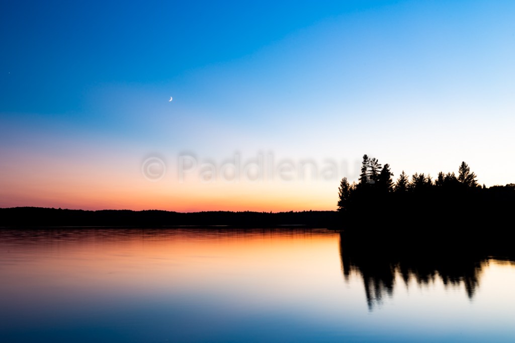
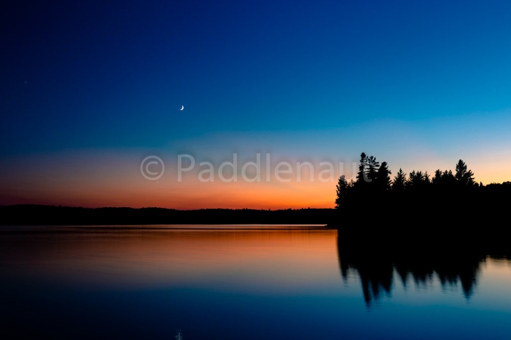
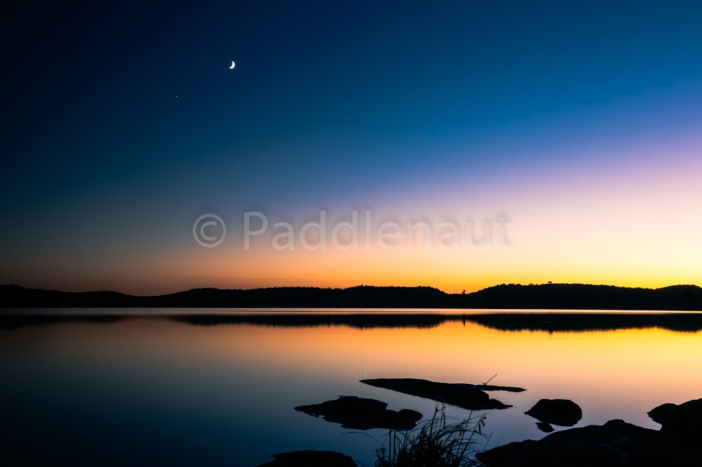
Tim River Sunset 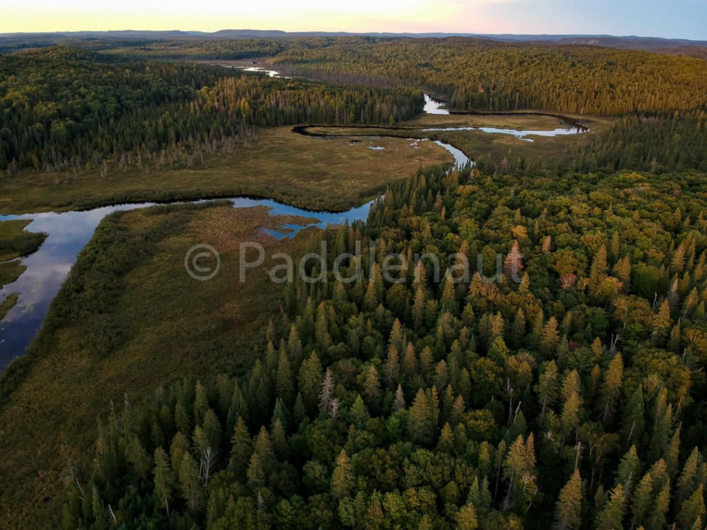
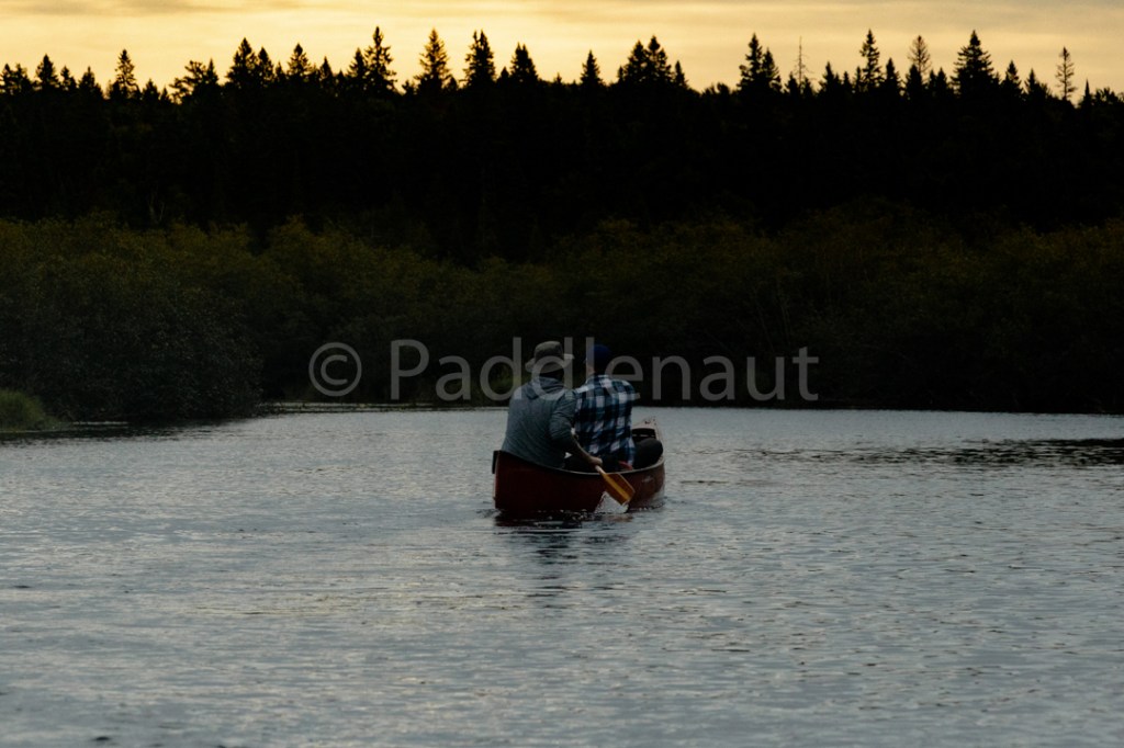
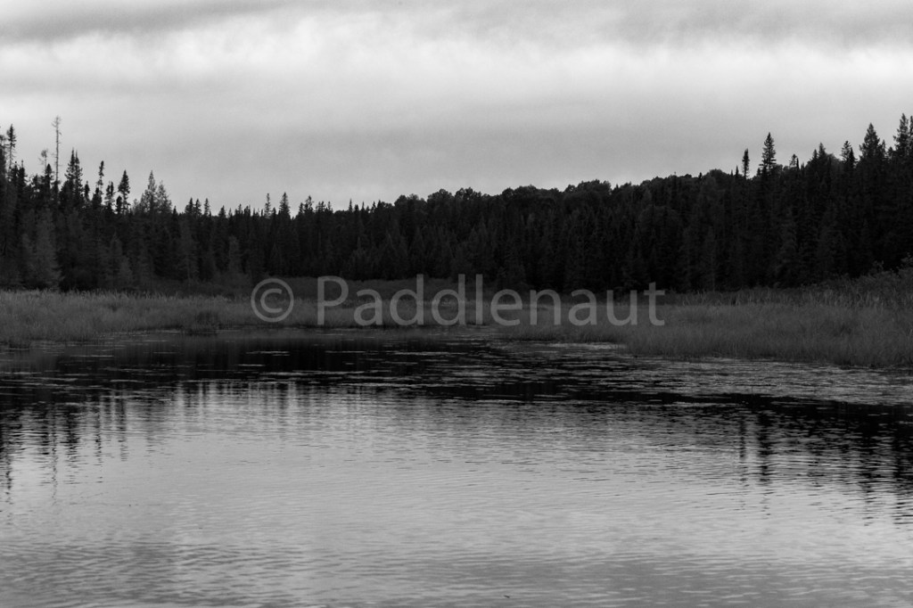
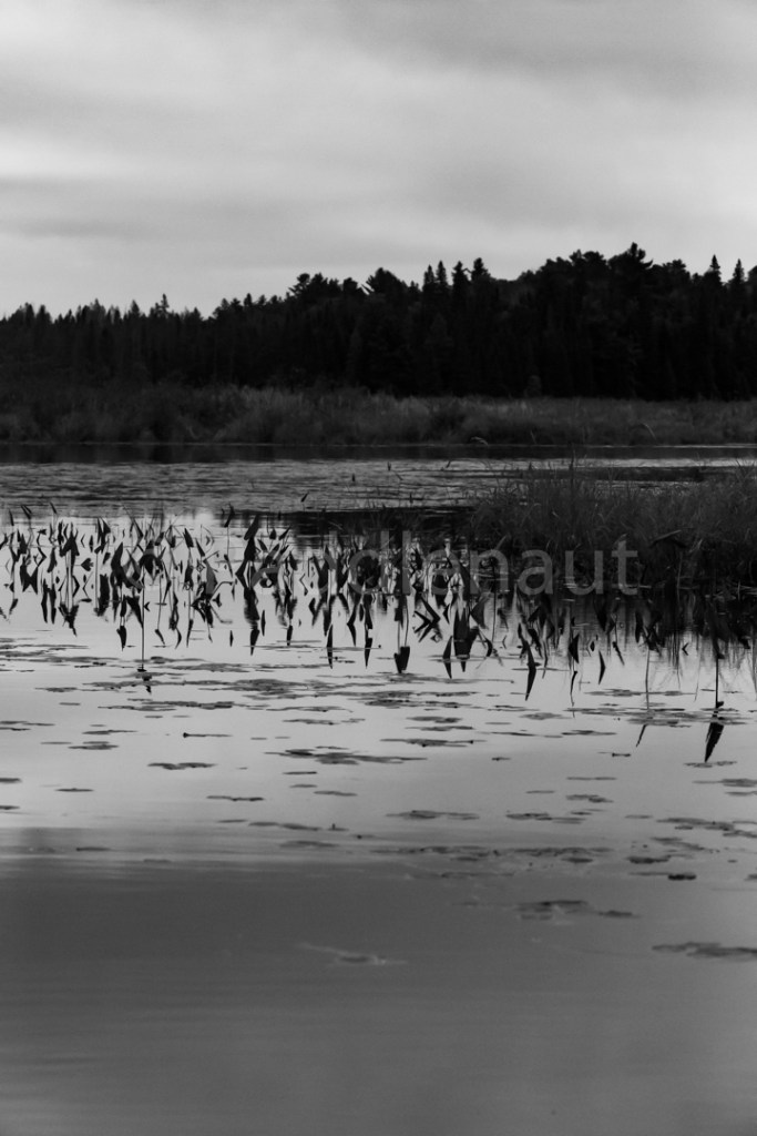
Tim River 
Tim River Campsite 
Tim River Campsite 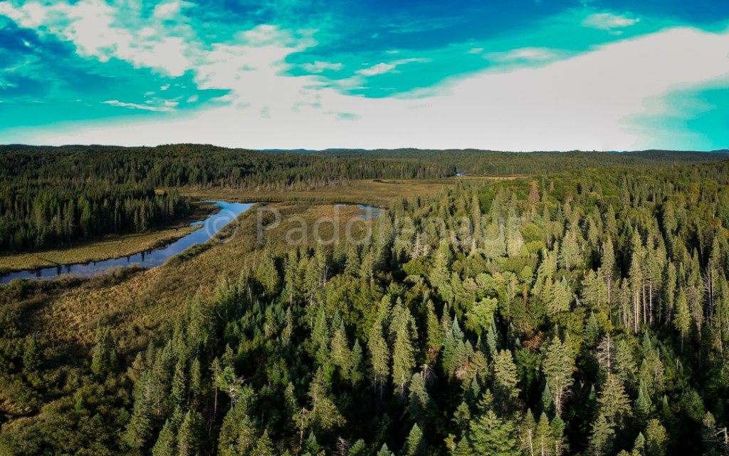
Tim River
Dinner was Ginger Mango Chicken w/ Cashews and Rice, and we were treated to two wolf howls during an incredible sunset. The wolves sounded like they weren’t too far away down the river, possibly on the far side, however the air was still, and we were in a valley, so I’m sure the howls carried very well. Koharu went “on guard” but didn’t make any noise to challenge them.
Another cold night with some clouds rolling in to reflect the dying light of the day.
Alan considering a heavier sleeping bag due to the cold. He was under several sweaters and was still chilled.
- High: 14.3°C
- Low: -0.8°C
- Max Wind: 16 km/h
- Precipitation: 0 mm
- Total Distance: 17.4 km
- Portages: (4) 1.01 km
Day 3 – Sept 10, 2018
Woke up to an overcast sky. The clouds didn’t look heavy with rain, but promised to stick around. Breakfast of oatmeal and coffee. Another wolf howl struck up as we were striking camp, this time Koharu got a few low “woofs” in as a response.
We were on the water around 9am, barely a breath of wind, very still slow river (still a reasonable current, but not turbulent). As we paddled downstream we didn’t hear or see any further evidence of the wolves.
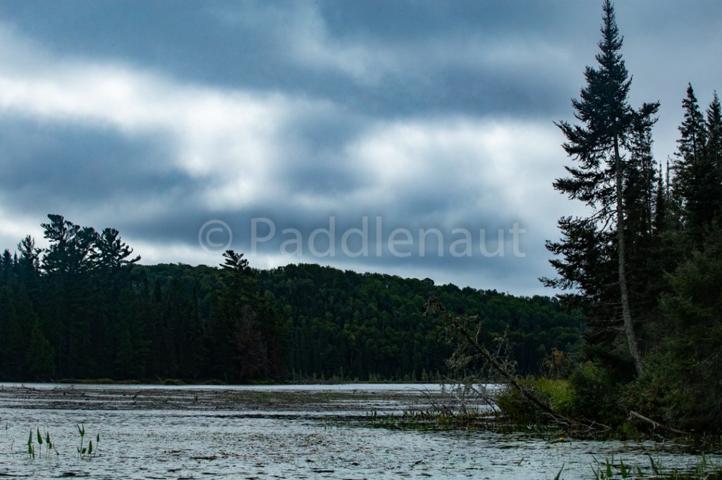
The river winds around quite a bit through flat areas, but then gets forced through narrow constrictions of bedrock, making for some varied currents and landscape. No moose this day, but lots of waterfowl (ducks/herons/geese).
Bypassed the 125m portage, with the high water the CII running more like a swift. Reasonable current all the way to the mouth of the river in Shippagew L, where a SE wind created some surf in the shallow delta.
Canoed across to the 1015m portage which has a very muddy entrance and a shaky boardwalk jutting into the water. It has a very narrow portage head, and we had to unload one canoe at a time and haul it 10m up the portage to make room for the next one.
Portage is relatively flat and clear.
Blue Lake was well sheltered so no wind, and the portage into Big Trout is rocky and requires a little footwork at the take-out. Stopped for lunch at the Big Trout put-in of red quinoa and curried lentil stew.
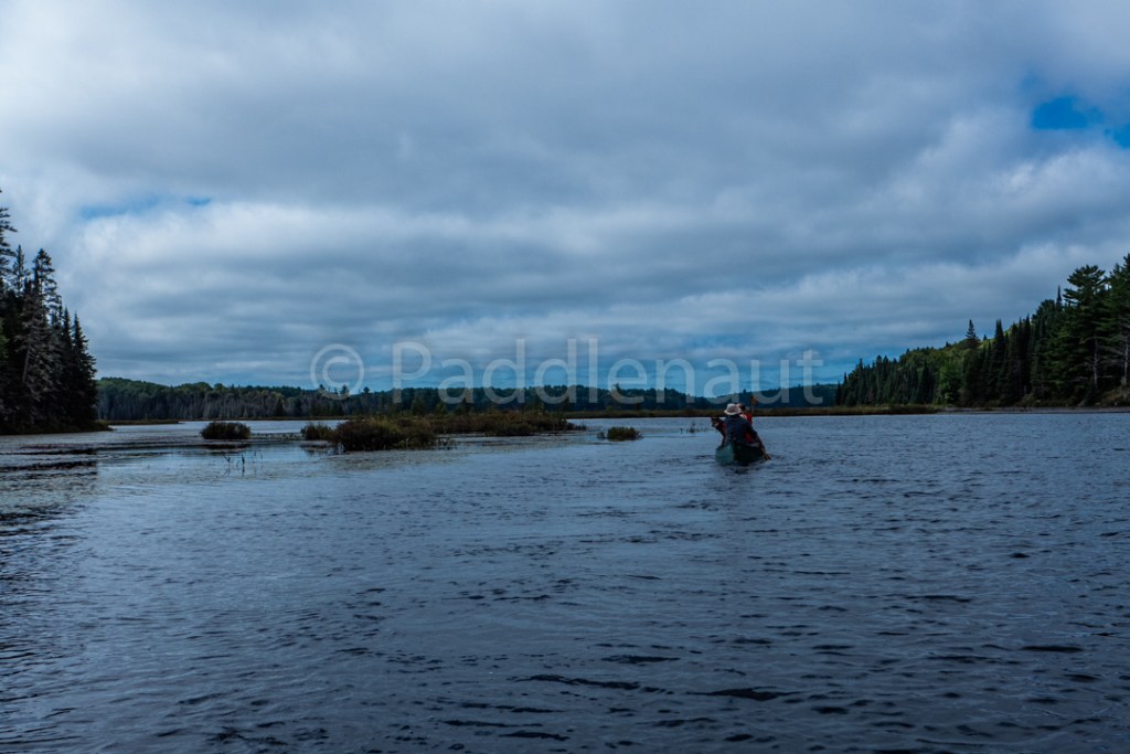
Rounded the point southwards into some good headwinds, and a few small whitecaps (waves about 1-1.5’). Wanted to find a nice site on an island to spend our rest day, and allow Koharu to explore off-leash.
The first island (en route to White Trout Lake), was large and very picked over. Nice wide-open site, but not much shelter, very few places to string a tarp, and no firewood. With the weather worsening, we estimated this would have been too exposed to be enjoyable.
Second island in the large bay of the South end of the lake was smaller and more sheltered, but the site seemed very small. Having stayed on the island in the next bay and knowing it to be a sheltered but open site, we decided to head for it instead.
Thankfully the site was unoccupied, and we arrived in enough time to get camp set up before the rain set in. As the rain clouds thickened and cut down our remaining sunlight we ate our dinner of Harvest Pork and Apple Stew. I had intended on trying to fire-bake some bread to go along with it, but the rain left me pan-frying it instead. While ultimately they didn’t kill us, the pan-fried bread was not great, and took a very long time to cook through. The temperature plummeted into the low single digits, and with the rain coming down steadily making it a very chilly humid night, we called it early and went to bed around 8:30pm.
- High: 12.9°C
- Low: 1.3°C
- Max Wind: 12 km/h
- Precipitation: 13.4 mm
- Total Distance: 21 km
- Portages: (2) 2.44 km
Day 4 – Sept 11, 2018
We woke up to a still overcast sky, but the rain had stopped during the night. As our rest day, we took our time in the morning, and enjoyed some cinnamon buns and frittatas with our coffee.
Rather than getting a fire going for the sake of time, we made a small ground-staked foil oven and placed one of the Whisperlites at the back. This wasn’t terrible, although the foil eventually started to burn through and the stakes caught fire after the second batch (easily extinguished once the stove was off). We discussed the potential of a back-country oven for future trips.
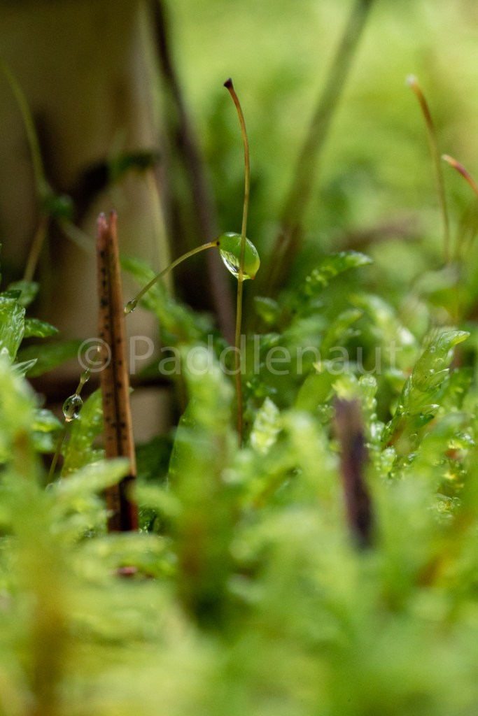
The remainder of the day was spent taking pictures, gathering firewood from the mainland (this site is picked very clean), taking a refreshing swim in the cool lake, and generally lounging around. The sun came out around noon, and while it still didn’t get really warm it allowed us all to dry some stuff out and bask in the sunshine.
Big Trout Lake Campsite
Sean and Ryan collected a colossal amount of wood, and Alan spent a good chunk of time splitting it all down to quarters. We evaluated the best way to lay out the fire pit to create a pizza oven, and ended up wrapping some stakes in tin-foil to act as the structure and then covering the entire thing with tinfoil. Needed to make a small opening at the back otherwise the fire started to suffocate, and allowed a good coal base to get going.
We made the pizza dough and spread it into some 10” pie-plates coated in oil, topped them with pepperoni, rehydrated green peppers, mushrooms, and onions, and fresh mozzarella. The first one took a bit to cook, but after Sean got the hang of it, they were crispy, melty, and delicious. One pizza ended up as a casualty as it slipped off Seans plate. It was rather disappointing for all parties involved. The pizza was paired with a Featherstone Reisling to round out our meal.

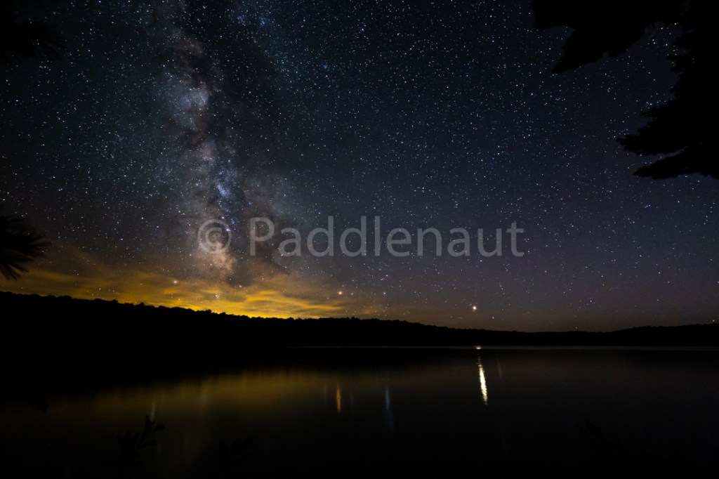
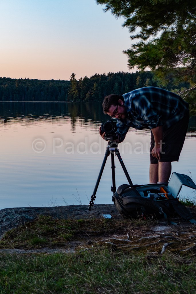
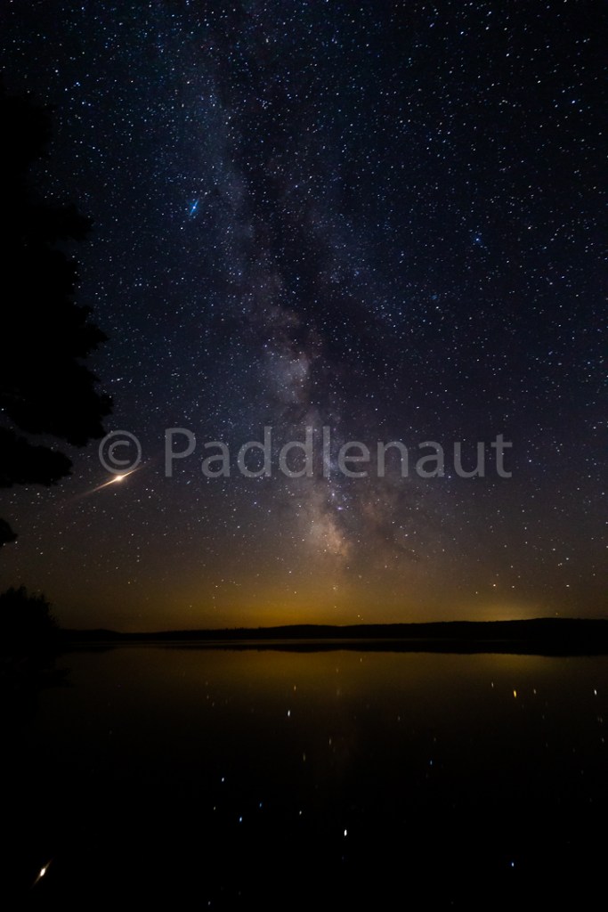
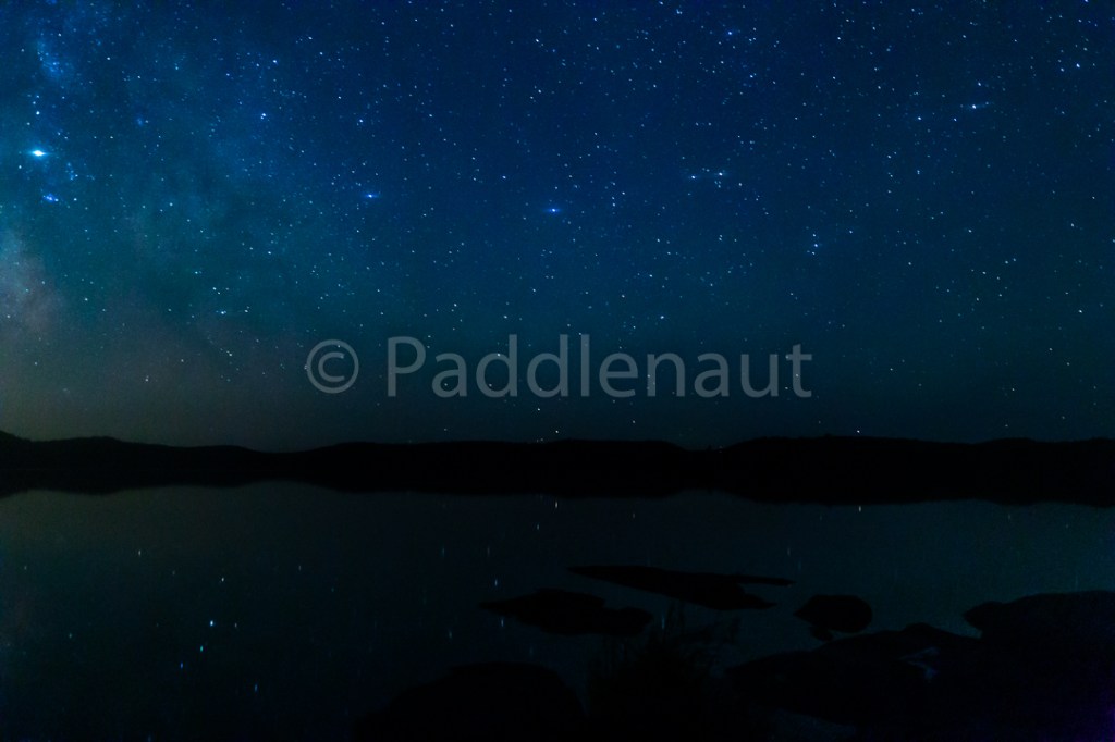
As the sun set we broke into the whiskey and salted dark chocolate for dessert, and mused around the campfire until the stars came out. It was a beautiful clear night, although humid, so the photography was great as long as you could keep the lens from fogging up.


Note – skipped lunch due to the late breakfast. Possibly don’t need to pack a full lunch for the rest day. Snacks for mid-day may be sufficient.
- High: 16.6°C
- Low: 8.4°C
- Max Wind: 5 km/h
- Precipitation: 0.3 mm
Day 5 – Sept 12, 2018
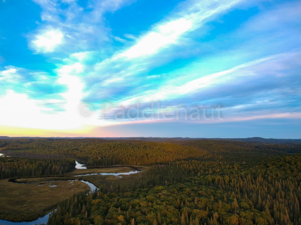
Very foggy morning. Sent the drone up to see what was happening, and about 60’ above the ground it broke through the clouds into an incredible sunrise over small islands of conifers peeking through the tumbling clouds. Back to the oatmeal and coffee for breakfast, and we hit the water around 9am.
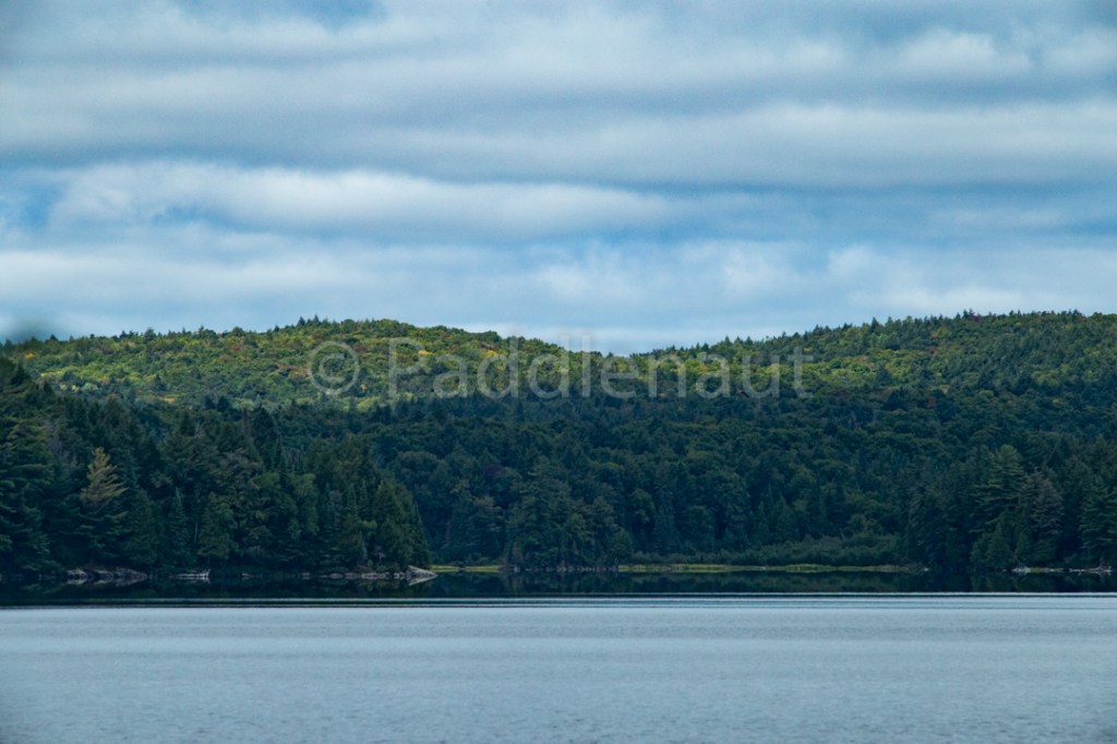
The fog had cleared out and we paddled across a glassy Big Trout Lake, back towards The Narrows in conditions that couldn’t have been more different from the ones we arrived in.


Once through The Narrows, the wind picked up and we paddled through some chop past the high cliffs. They are certainly imposing, and there would be an incredible view from the top where an old fire tower used to be.

As we paddled towards Grassy Bay, we had a pit-stop at the site on the small island just at its mouth. While the site doesn’t look like much from the water (and the swimming would be terrible), it opens up once you get up the hill into a secluded and sheltered Hemlock grove which would be a nice site in inclement weather to hunker down in.
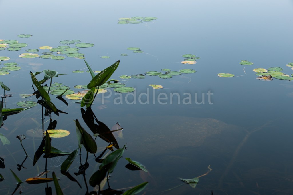
Lots of water in Grassy Bay, and we meandered with the channel into McIntosh Marsh and stopped at the site of an old ranger cabin for lunch. We explored inland a bit to see if we could find any remnants of the cabin, but nothing made itself evident. Lunch was Mediterranean Garbanzo Bean Salad.
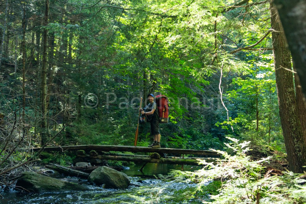
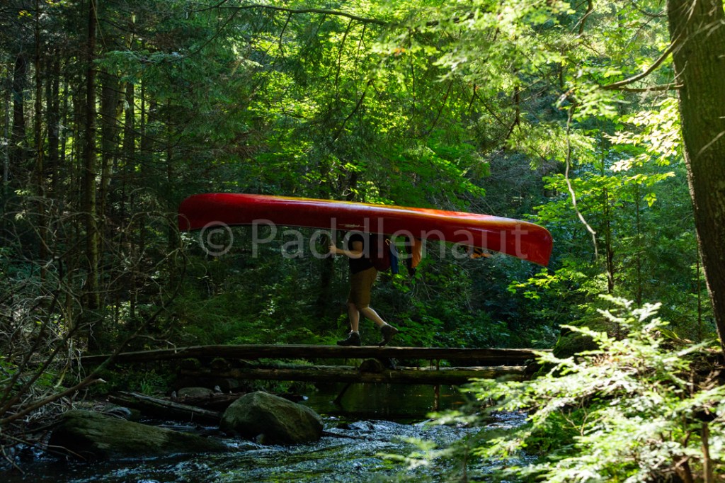
We continued on up McIntosh Creek through the two portages, of which the first (745m) crosses the creek twice on some sunlight-dappled bridges through hardwood forests. Both portages are uphill, and in total they climb about 30m from McIntosh Marsh to McIntosh Lake, but the trails are good (if a little wet) and the creek in between is easily navigable.

Just as we were heading into McIntosh L we had a group come up behind us. McIntosh seemed pretty popular with several groups camped on it. We chose the northernmost island, and settled in for the evening. Good tent sites, and a second fire pit on the far end of the island.
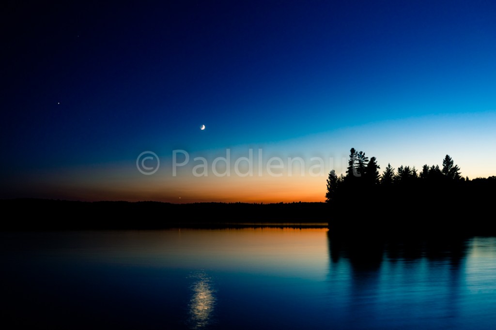
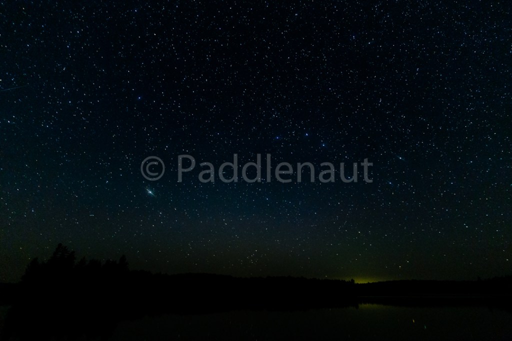
Dinner was Beef Stew with Gnocchi acting as dumplings, and the air temp was heating up so we didn’t feel the need to make a fire for the evening. Instead, we spent the evening out on the flat rocks by the lake watching the sunset to a chorus of loons. A crescent moon was beginning to show itself, and Venus was clearly visible near the horizon, with Mars also evident in the sky. Also visible seemed to be a cluster of stars or potentially a nebula along with the milky way.
- High: 23.1°C
- Low: 7.2°C
- Max Wind: 6 km/h
- Precipitation: 0 mm
- Total Distance: 17.4 km
- Portages: (2) 1.26 km
Day 6 – Sept 13, 2018
Woke up to another cloudless morning, and the promise of it being a warm one. After the beginning of the trip spent at near 0C at nights, the heat seemed nice! Breakfast was again oatmeal and coffee, and we set off around 8:30am from camp.
The 405m portage into Timberwolf was uneventful, and Timberwolf L itself is quite pretty, albeit a little murky.
The 845m portage into Misty started off pretty rocky with a technical take-out from Timberwolf, but was otherwise a standard carry.
Misty Lake
Misty Lake is more a shallow widening of the Petawawa River on its way down to Grassy Bay, and multiple shoals and rocky islands dot the medium sized lake.
We paddled up to the incoming Petawawa end and carried the 935m portage. While the map indicates that the portage can be extremely muddy, we only experienced a few patches of pervasive mud, with the rest of the trail being fairly dry. The portage however is a pretty abrupt 30m incline away from Misty L, and then levels off through the forest before dropping back down to Little Misty L.
Rather than paddling up the Petawawa to Daisy, we opted to take the 2435m portage to Queer Lake. Despite Ryan’s comments to the alternative, this portage is relatively flat and follows an old logging road for about a kilometer. The trail is open and well used, and only slightly overgrown with grass on the Little Misty side.
We ate lunch on the Queer Lake end of the portage, consisting of roasted red pepper and chipotle chicken wraps with smoked Gouda, and admired the calmness of the lake in the building heat and still air.
There were a few groups camped on Queer Lake and Little Trout Lake, but both were quick paddles and short portages. Had to dunk Koharu in Little Trout lake as the sun was getting pretty intense.
By the time we got to Ralph Bice, we were all in shorts and t-shirts. After a quick wade in the sandy shore of Ralph Bice, we set off across the bay accompanied by some very human-accostomed Loons.
We made camp on the westernmost point of the large island near the east shore and once the tents were up, wholeheartedly committed to a swim in the sandy bay next to the site. Ralph Bice is surprisingly clear and has a rock and sand bottom. The site doesn’t have many great tent pads, but a smooth rocky outcropping by the lake which was fantastic for stargazing. We ate Dal Tadka for dinner, and again opted to not set a fire. There were people located on the point directly opposite us, so we stayed relatively quiet and played cards as the sun went down. With the temperature steadily increasing over the last few days, we had some dew to contend with as moisture settled out of the air.


- High: 25.1°C
- Low: 9.4°C
- Max Wind: 8 km/h
- Precipitation: 0 mm
- Total Distance: 18.1 km
- Portages: (6) 4.23 km
Day 7 – Sept 14, 2018
This was going to be uncharted territory despite about two decades of canoeing through the park, as I had never ventured through the “low maintenance” areas. As such, we hit the water in good time after our now repetitive breakfast of oatmeal and coffee, and ventured up to David Lake.
The 620m portage is a bit of a grind along rocky and muddy rivulets, but lets out into a very pretty David Lake. The island campsite is low and rocky, but looks private enough despite being quite small.
The next 80m portage would be our last maintained portage of the day.
The next 9km of travel incorporated 5.4km of portaging through low maintenance portages. While we were pleasantly surprised at how easy the portages were to follow (some were along old logging roads, or what looked like ATV access trails), access into and out of the respective lakes were swampy, steep, and slippery. There were a few blow-downs, but by the looks of things crews had actually been through here relatively recently, with many large trees having been cleared from the portages in what we assumed were the last few years.
There was a certain charm at the wildness of the area being infrequently travelled, but given the rigor of the route effectively between the Magnetawan and Tim L access points, I can see why most people don’t use it. Our peak elevation was about 55m above Ralph Bice L where we set off in the morning, and with the temperature reaching almost 30 degrees on technical portages, it was a bit of a killer day. Arriving at Tim Lake was a welcome sight.
A quick note that the campsite on Papukeewis L is actually at the end of the portage into Mama L, rather than the one marked on the map. “Campsite” might also be a generous term, as you would be hard pressed to get more than one small tent on it, and the water access is for all intents and purposes a swamp. While there’s a nice view of the topography to the east from the site (some rather high hills surround the lake, with a 550m peak in the distance), this certainly wouldn’t be a destination site. Despite that, it looked recently used with some unburnt garbage in the fire-pit.
Once on Tim Lake, and with the temperature over 25°C, we all desperately wanted a swim after effectively hiking up from Ralph Bice. In paddling around Tim L, none of the sites offered much in the way of good swimming with most sites having little to no rocky access, and an abundance of mud not too far from the shore. Given this, we opted to hit the access point a day early, grab a burger and a pint in Bracebridge, and spend the night at Alan’s cottage outside Coldwater. The pint went down all too quickly, and so we picked up some additional beverages from Sawdust City Brewing, hit the showers upon arrival at the cottage, and downed a few cold ones by the lake.
In general, I would not recommend the route between Ralph Bice and Tim L (part of the Meanest Link as I found out later), and would instead recommend heading back to Rosebary from Queer Lake, and then back up the Tim River. While this involves padding up stream, the current is not such that this would be a challenge (time consuming maybe), involves considerably less hiking, and actually knocks off about 3 hours of travel.
- High: 27.4°C
- Low: 9.7°C
- Max Wind: 7 km/h
- Precipitation: 0 mm
- Total Distance: 15.2 km
- Portages: (10) 6.09 km
